Hi-Target V500 GNSS RTK Rover with iHand55 Controller
Make every field visit count with the Hi-Target V500 rover and iHand55 controller. Visual stakeout, IMU tilt surveying and up to 24-hour rover operation in a compact GNSS RTK setup. Survey pole not included.
Technical brief
Hi-Target V500: compact equipment for a productive survey day
Bring clear visual guidance to your next project with the Hi-Target V500 GNSS RTK rover and iHand55 controller. This setup supports topographic surveys, construction layout, cadastral work and utility mapping for survey teams in the UAE.
Find your points with visual guidance
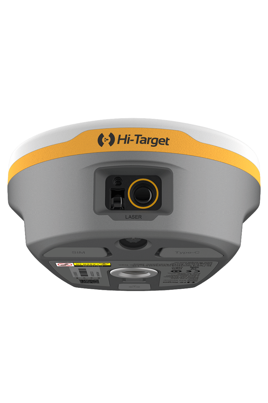
Live View Stakeout helps you locate design points through camera-assisted guidance. Built-in IMU tilt surveying adds flexibility when collecting points with a tilted survey pole.
Key specifications
- GNSS engine: 1408 channels for the listed configuration.
- RTK accuracy: horizontal 8 mm + 1 ppm RMS; vertical 15 mm + 1 ppm RMS.
- Battery: internal 6800 mAh battery, with up to 24 hours of RTK rover operation.
- Portable design: receiver weight up to 0.75 kg.
- Field protection: IP68 rating and a design tested for a 2 m fall.
- Connectivity: UHF, Bluetooth, Wi-Fi and USB-C, with network RTK workflows.
Battery runtime and positioning performance depend on operating mode, settings, satellite visibility and site conditions. Check the brochure for specifications and test conditions.
What is included?
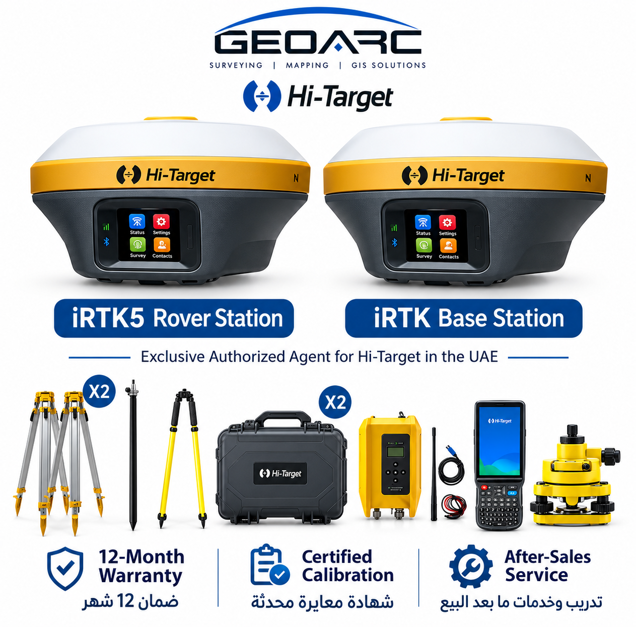
V500 rover with iHand55 controller. Survey pole is not included. Contact GeoArc to confirm software, licenses and any additional accessories required for your project.
Plan your next project with GeoArc
Looking for a Hi-Target V500 in the UAE? Send your survey requirements to check availability and request a quotation for the setup you need.
Additional technical specifications
• Satellite systems: GPS · GLONASS · Galileo · BDS · QZSS · NavIC · SBAS.
• Tilt measurement: Built-in IMU; tilt uncertainty 8 mm + 0.7 mm/°.
• Display / imaging: HD starlight camera; AR visual stakeout.
• Internal storage: 16 GB. Receiver dimensions: 130 × 68 mm.
Manufacturer specifications depend on the stated version and operating conditions.

جيو ارك للمقاولات العامة CONTRACTING GENERAL GEOARC · Exclusive Hi-Target Agent — UAE
Hi-Target V500 GNSS RTK Rover with iHand55 Controller
V500 · GNSS & RTK · Hi-Target
Make every field visit count with the Hi-Target V500 rover and iHand55 controller. Visual stakeout, IMU tilt surveying and up to 24-hour rover operation in a compact GNSS RTK setup. Survey pole not included.
- GNSS channels: 1408 (listed configuration)
- Constellations: GPS · GLONASS · Galileo · BDS · QZSS · NavIC · SBAS
- RTK accuracy: H: 8 mm + 1 ppm RMS; V: 15 mm + 1 ppm RMS
- IMU / tilt: Built-in IMU; tilt uncertainty 8 mm + 0.7 mm/°
- Visual / imaging: HD starlight camera; AR visual stakeout
- IP rating: IP68
+971508121919 · Sales@geoarc-store.com · UAE - Abu Dhabi - Mazyed Mall - Tower 3