Hi-Target V30 Plus GNSS RTK Surveying Receiver
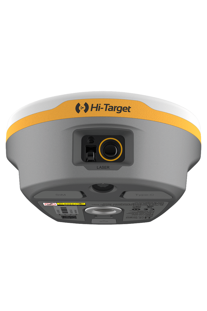
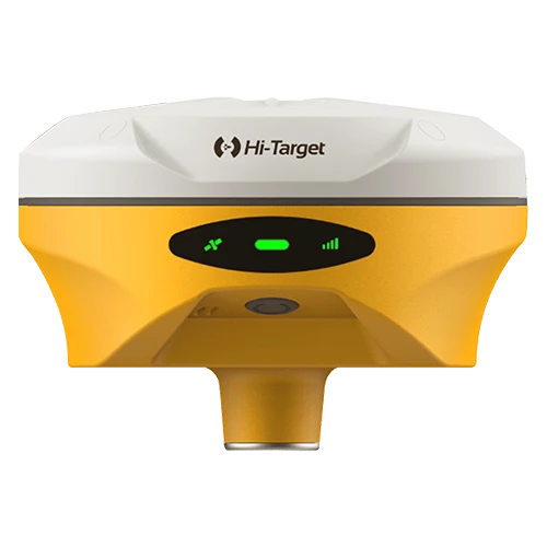
Build your field workflow around the Hi-Target V30 Plus. A GNSS RTK receiver for topographic surveys and construction layout, with multi-constellation tracking, tilt surveying and flexible connectivity. Ask GeoArc about UAE package options.
Technical brief
Hi-Target V30 Plus: a practical foundation for field surveying
From collecting terrain points to setting out a construction site, the Hi-Target V30 Plus GNSS RTK receiver supports the everyday work of surveyors and engineering teams. Explore a flexible survey setup for topographic mapping, road works, cadastral surveys and infrastructure projects in the UAE.
Positioning and measurement
- 1408-channel GNSS engine: multi-constellation tracking for the listed receiver configuration.
- RTK positioning: specified horizontal accuracy of 8 mm + 1 ppm RMS and vertical accuracy of 15 mm + 1 ppm RMS.
- Tilt surveying: additional flexibility for collecting points around obstacles and on uneven ground.
Connect your field workflow
Wi-Fi, Bluetooth, 4G and UHF radio offer communication options for compatible correction services and radio-based setups. WebUI access supports convenient receiver management. Confirm compatibility with your controller, software and correction service before ordering.
Built for outdoor projects
The listed V30 Plus configuration features IP67 protection and a design intended to withstand a 2 m drop onto concrete. Positioning performance and battery runtime depend on equipment configuration, satellite visibility, correction availability and operating conditions.
Choose the package your team needs
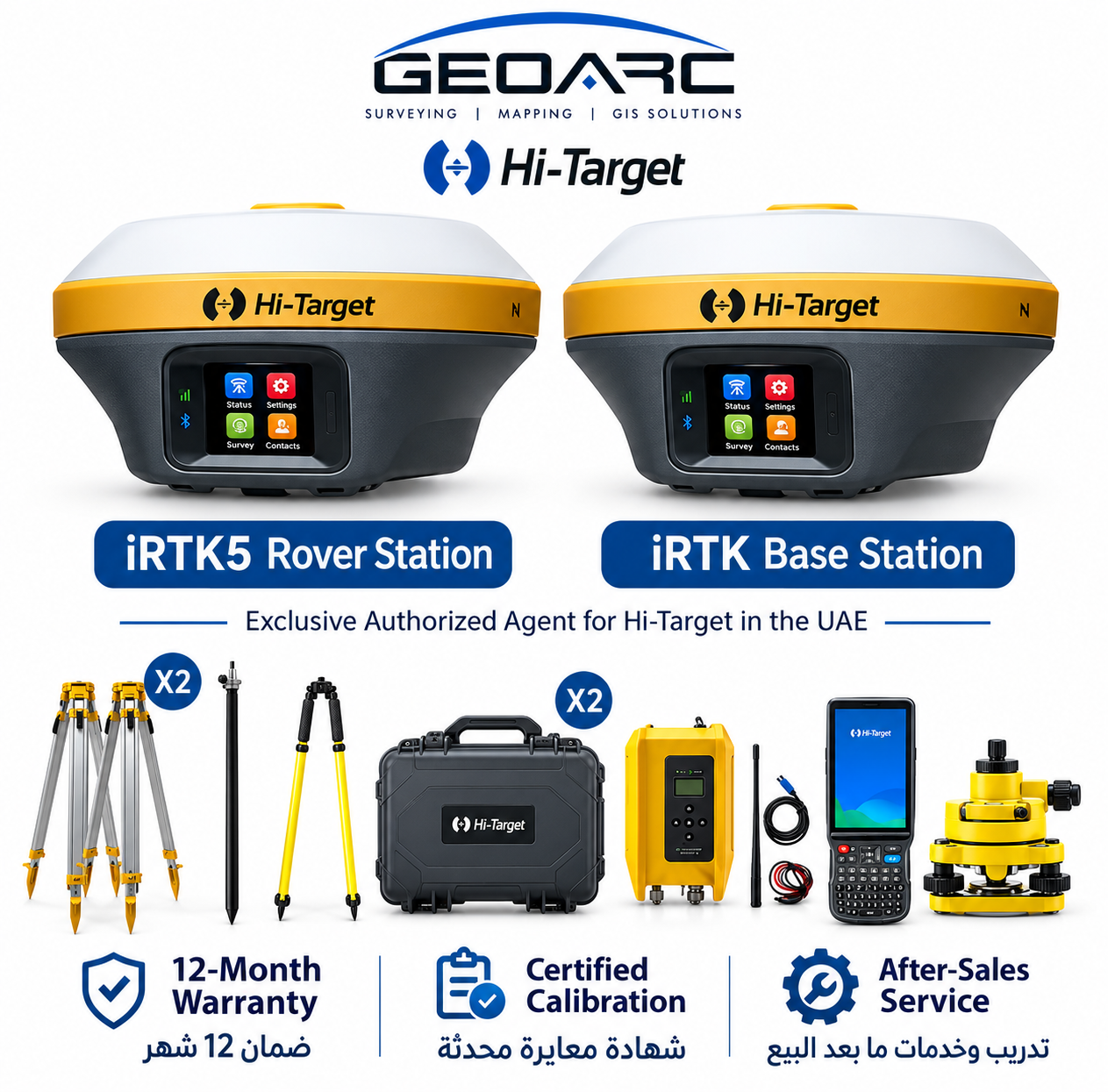
Receiver, controller, software, batteries, charger, carrying case, survey pole, tripod and external radio options depend on the selected package. Only items stated in your quotation are included. Ask GeoArc to confirm the exact receiver version and accessory list.
Request a V30 Plus quotation in the UAE
Tell us about your survey tasks and existing equipment. Contact GeoArc for availability, configuration details and a quotation for the Hi-Target V30 Plus GNSS RTK System.
Additional technical specifications
• Power / battery: Removable 5000 mAh; up to 10 h RTK rover.
• Instrument weight: 1.4 kg including battery.
Manufacturer specifications depend on the stated version and operating conditions.

جيو ارك للمقاولات العامة CONTRACTING GENERAL GEOARC · Exclusive Hi-Target Agent — UAE
Hi-Target V30 Plus GNSS RTK Surveying Receiver
V30-PLUS · GNSS & RTK · Hi-Target
Build your field workflow around the Hi-Target V30 Plus. A GNSS RTK receiver for topographic surveys and construction layout, with multi-constellation tracking, tilt surveying and flexible connectivity. Ask GeoArc about UAE package options.
- GNSS channels: 1408 (listed configuration)
- Constellations: GPS · GLONASS · Galileo · BDS · QZSS · NavIC · SBAS
- RTK accuracy: H: 8 mm + 1 ppm RMS; V: 15 mm + 1 ppm RMS
- IMU / tilt: Tilt Survey 2.0 and electronic bubble; version dependent
- Visual / imaging: No integrated camera
- IP rating: IP67
+971508121919 · Sales@geoarc-store.com · UAE - Abu Dhabi - Mazyed Mall - Tower 3